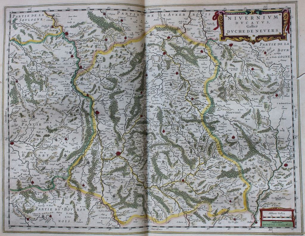
In which region was Corvol l’Orgueilleux situated in the Middle Ages? While the area is today part of Burgundy, for a period of its medieval history it was located in another, autonomous, entity, the county of Nevers, or the “Nivernais”, as a review of maps of the region demonstrate.
The Nivernais is a former province of France, most of which is now the department of the Nièvre. Its territory covered the towns of Nevers, Pouilly, Clamecy, Vézelay, Château-Chinon, Decize, Donzy, La Charité-sur-Loire, and Pougues-les-Eaux.
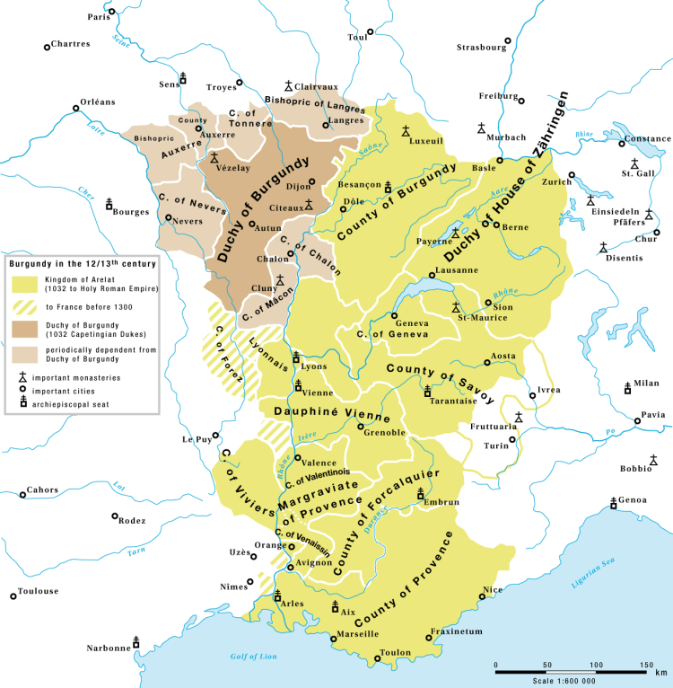
This territory was given by Louis the Debonair to his son Pepin, King of Aquitaine, and became a county from the beginning of the 10th century. With Duke Henry I of Burgundy and his wife, Countess Gerberge, it became associated with the neighbouring duchy of Burgundy.
In 1032, the County of Nevers was joined to the County of Auxerre, but soon came into conflict with the Bishop of Auxerre.
Nevers came under the rule of the Counts of Flanders in the 14th century, and from there became the possession of Philip II the Bold, Duke of Burgundy, who briefly united the two lands. Philip of Burgundy, the youngest son of Philip the Bold, received the county of Nevers, which later became the possession of a younger branch of the dukes of Cleves. From 1521, the rulers of Nevers were called Dukes of Nivernais.
In 1539, it was directly attached to France and became a duchy in the peerage of France. For a time, it was held by a cadet branch of the House of Gonzaga.
In 1659, Charles IV Gonzaga sold the duchies of Nevers and Rethel in 1659 to Cardinal Mazarin, and he and then his successors took control of the duchy.
The province kept the official title of ‘Duchy of Nivernais’, though it held the status of a province of the Kingdom, and remained a large, autonomous fiefdom that was never annexed by the king, until the Revolution.

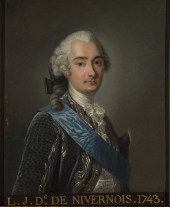
The duchy survived until 1789, the last duke being Louis-Jules Mancini-Mazarini, who lost his title at the Revolution, but survived the Terror to die of natural causes in 1798.
Following the Decree dividing France into departments in 1790, the province was broken up into three new departments: the Nièvre, and partly in Yonne and Cher, and is today part of the larger region of Bourgogne-Franche Comté.

general de Nivernois dédié et presenté A Monseigneur Mazarini
Mancini, duc de Nivernois et Donziois / par D. Delafosse. 1760. Source
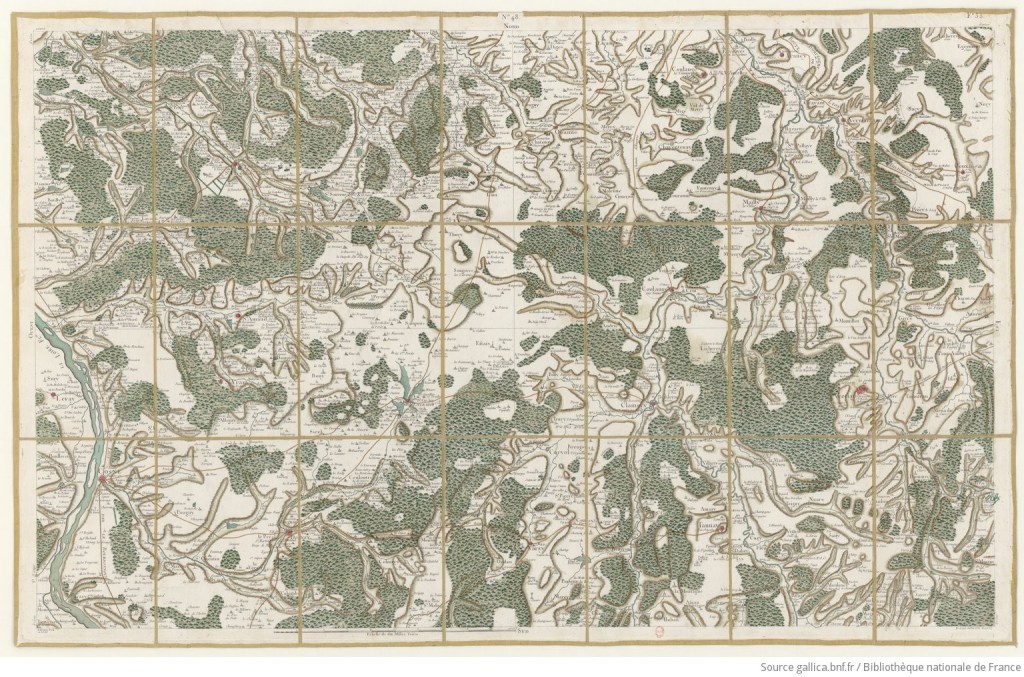
la France. 048, [Vézelay – Cosne-Cours-sur-Loire]. N°48. Flle 35 /
R. Brunet Fecit. Ecrit par Aubin ; [établie sous la direction de
César-François Cassini de Thury]. 1759. Source

in Aedius, ubi postea Vadicasses. Evesché de Nevers. Duché pairie
et balliage de Nevers. Balliage de St Pierre le Monstier. Elections
de Nevers, de Chateau-Chinon, de Vezelay, de Clamecy et de la
Charité sur Loire / par le Sr Sanson d’Abbev.. 1665. Source

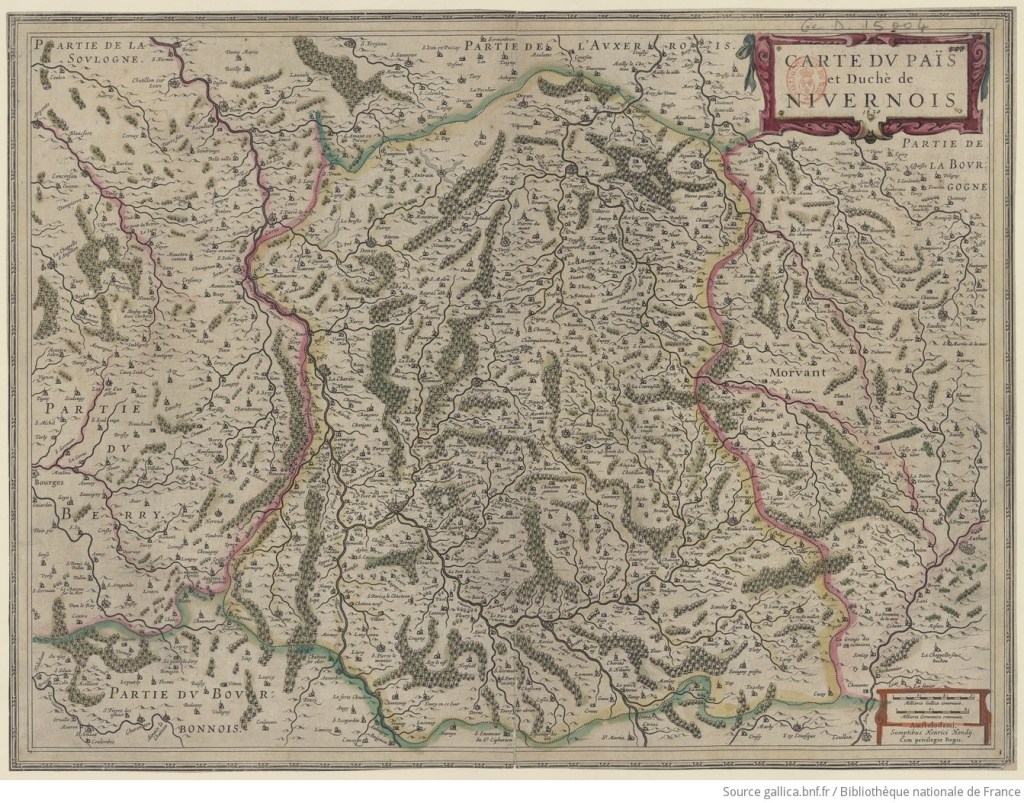
Duché de Nivernois. 1635 Source
